Interactive online model
[sketchfab id="3d2d9da33bdf4d318edd3444c26a1c40″ start="1″ spin="1″ controls="1″]
Drone technology
Today, the roof geometry was digitally documented at Frans Schartau using photogrammetry with drones. The aim was to complement the previously performed laser scans of the facades and interiors. The roof of Frans Schartau is one of Stockholm's highest locations. So laser scanning is very difficult to perform.
The results will be used for inventory and documentation of the existing building for future ROT projects.
This is where "drone scanning" really comes into its own - where other techniques are simply not possible or require much more work.
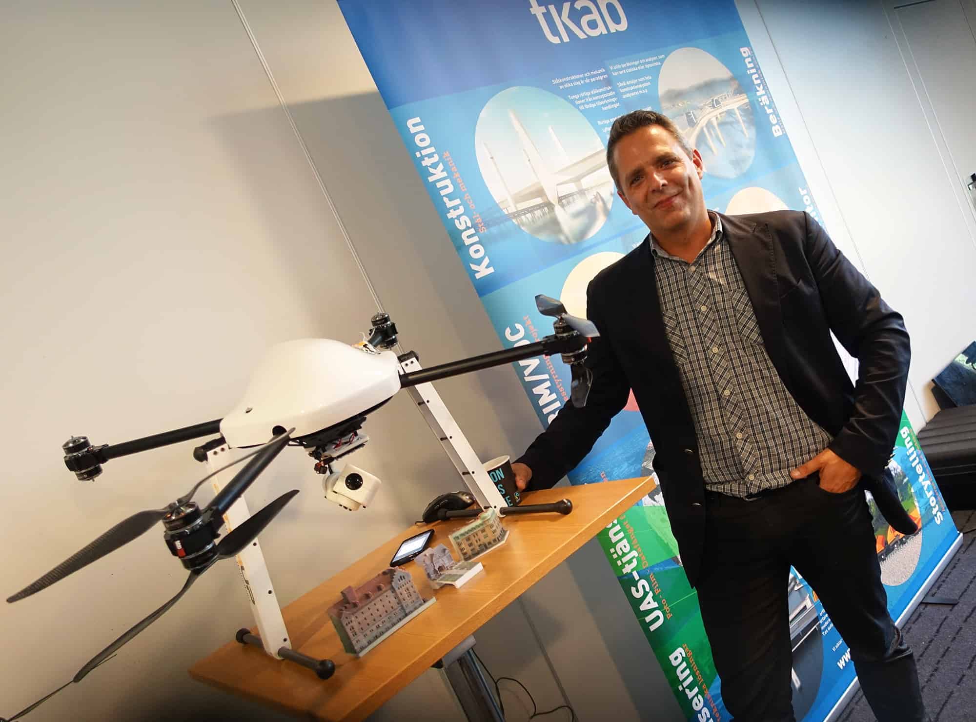
Since 2014, Tikab has been using drone technology to automate and digitise processes in the construction industry. Partly for their own part to collect data efficiently in connection with visualization assignments and partly for other designers and clients who need a digital version of the existing data in their projects. The results are often used as design data in the designers' BIM software or are incorporated into the project coordination model. Both point clouds and surface models.
Today we scan buildings and land - merge the result with the projected building/addition - lift the result into the game engine for review and experience with VR glasses. Contact us when you encounter the need in your project and we can show you examples of the technology.

Johan Stribeck
Business Area Manager BuildTech Services
+46 8 409 043 22
+46 709 52 71 70
johan.stribeck@tikab.com

Latest comments